
Along with our partners at the University of Georgia Map and Government Information Library (MAGIL), the Digital Library of Georgia has made the Georgia Aerial Photography Index Collection available at https://dlg.usg.edu/collection/gyca_gaphind, now providing online access to more than 1200 indexes produced by U.S. government agencies, including the U.S. Department of Agriculture’s Agricultural Stabilization and Conservation Service (ASCS). Indexes covering all 159 Georgia counties are available with coverage ranging from the 1930s to the 1990s. The Georgia Aerial Photograph Index Collection provides access to digital versions of all Georgia county indexes in MAGIL’s physical collection. Previously-digitized indexes of select counties in the State of Georgia, along with approximately 50,000 black and white photographs, are available in the Georgia Aerial Photographs database.
Aerial photography depicts the physical and cultural characteristics of land at a specific time. The images can provide insights into various fields from ecology and geography to history, archeology, and urban planning. In addition to aiding in the mapmaking process, aerial photographs can be used to settle legal issues such as property disputes and even identify ancestral sites for people researching genealogy, according to the National Archives website https://www.archives.gov/research/cartographic/aerial-photography.
“MAGIL’s aerial photography collection is heavily used by researchers looking for everything from the existence of the old family farm to the first appearance of a bridge to the development of an intersection over time,” said Valerie Glenn, the head of UGA’s Map and Government Information Library and Federal Regional Depository Librarian. “By making these indexes available through the Digital Library of Georgia, we are greatly improving access for those users interested in how Georgia land has or has not changed and providing them the ability to conduct preliminary research on an area without having to travel to Athens.”
Allison Haas has used these materials in her research, working for EDR/Lightbox. “Daily I use materials from the Map and Government Information Library for historical property research on commercial real estate sites as part of the environmental due diligence process,” Haas said. “Historical aerial photographs are key elements in the reports we provide to our clients. Quick turn around on these reports is very important. Online access to this collection has improved workflow and helps get the reports to our clients quickly.”
Selected Images:
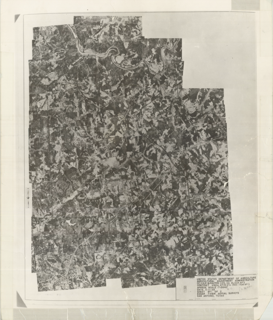
Dekalb County, 1938: Aerial photography index
https://dlg.usg.edu/record/gyca_gaphind_dekalb-1938
[attachment: gyca_gaphind_dekalb-1938-00001.png (page 1)]
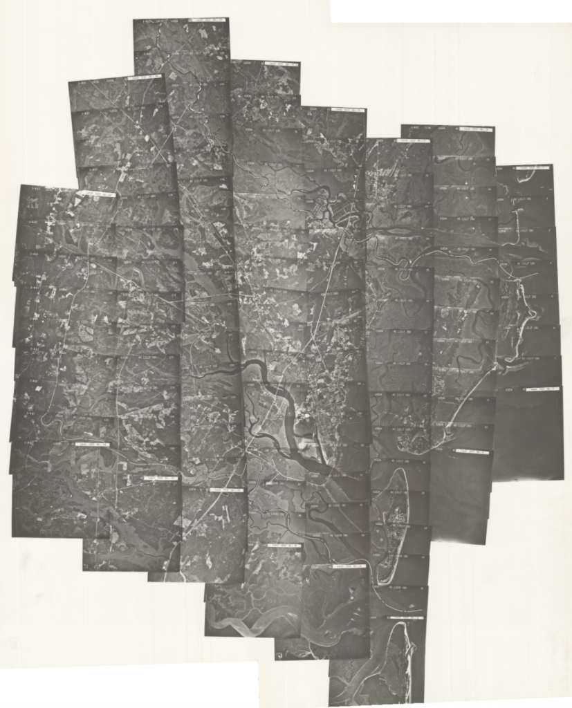
Glynn County, 1981: Aerial photography index
https://dlg.usg.edu/record/gyca_gaphind_glynn-1981
[attachment: gyca_gaphind_glynn-1981-00001.png (page 1)]
About the University of Georgia Map and Government Information Library (MAGIL)
The Map and Government Information Library (MAGIL), a unit of the University of Georgia Libraries, acquires, organizes, and provides access to cartographic and government information. It is located in the sub-basement of the Main Library on North Campus.
The UGA Libraries serves as Georgia’s regional depository for documents published by the Federal government as well as the official depository for documents published by the State of Georgia. Its collections also include select international and United Nations documents. Cartographic resources include maps, aerial photography and remote sensed imagery, atlases, digital spatial data, and reference materials, with a particular emphasis on the state of Georgia.
Maps and government documents have been an integral part of the University of Georgia Libraries for more than 100 years. For more information, read about the history of MAGIL.
